South of Carnac is the Almost-an-Island (Presqu'Ile) with the town of Quiberon (key-ber-o) at the end - thus Presqu'Ile de Quiberon. A Presqu'Ile would be an island except for a narrow causeway between it and the mainland. So it's really a peninsula, but almost-an-island is so much more descriptive of its geography.
Michelin has a driving tour that looks interesting. It would seem to be the best alternative for an outing today because my back is excruciatingly painful this morning. There's no relief in any of the chairs in the house anyway and the front seat of our car has heated seats and really good lumbar support. The car is probably the most comfortable place to sit today anyway. So we're off on a 50 minute drive to the Presqu'Ile de Quiberon. I'm not likely to be a very enthusiastic traveler today, but at least David will see one of the places on his list.
Presque'Ile de Quiberon sits south and a bit west of Carnac facing the Atlantic Ocean on the west and the Bay of Quiberon on the east. Like the rest of the coast of Brittany, it promises rugged coastline and sandy beaches. It does not disappoint.
After crossing the narrow isthmus (wide enough for a road with rocks and sand on either side) we arrived in St. Pierre Quiberon. Michelin says there are standing stones in this town so we headed to the center of town and the tourist office (and a toilet, hopefully). The toilet was a success, but the tourist office is permanently closed with a sign to ask at Quiberon. Luckily Dave had his hiking map which showed us where the menhirs are located. Using the GPS map we were able to find these stones - two sets of them - smack dab in the middle of an upscale neighborhood. No parking allowed on their street. So Dave stopped in the middle of the road while I took photos out the window.
 |
| Not everyone has standing stones (menhirs) in their back yard. Do you suppose that increases the value of the house? |
A couple of blocks away is a cromlech, a circle of standing stones. This street allows parking, so Dave walked around the stones - again, smack dab in the middle of the neighborhood - to take photos. We suspect these stones may at one time have touched the top of the menhir alignment of standing stones as we had seen at Carnac.
 |
| The cromlech 2 blocks away from the standing stones. |
 |
| You can see the curve of the circle. It was much larger than what's left here. |
We drove along the beach here (on the bay side of the island) for a brief time before getting back on the main road that runs north-south in the center of the island.
 |
| There's a sailing school along this part of the beach. |
We were now in search of the tourist office in Quiberon which is not in the center of town, but signs point us toward the beach south of town. We were able to park right in front of the office which is open and has a lot of information for us, including maps that show parking places and things to see.
 |
| front door of the Office de Tourisme. Why the tiled image of mountains and snow? |
 |
| These tiled medallions were made by elementary students of Quiberon to illustrate Quiberon's sister city in the Alps. |
 |
| Le Grand Bornand in Switzerland is sister city to Quiberon. |
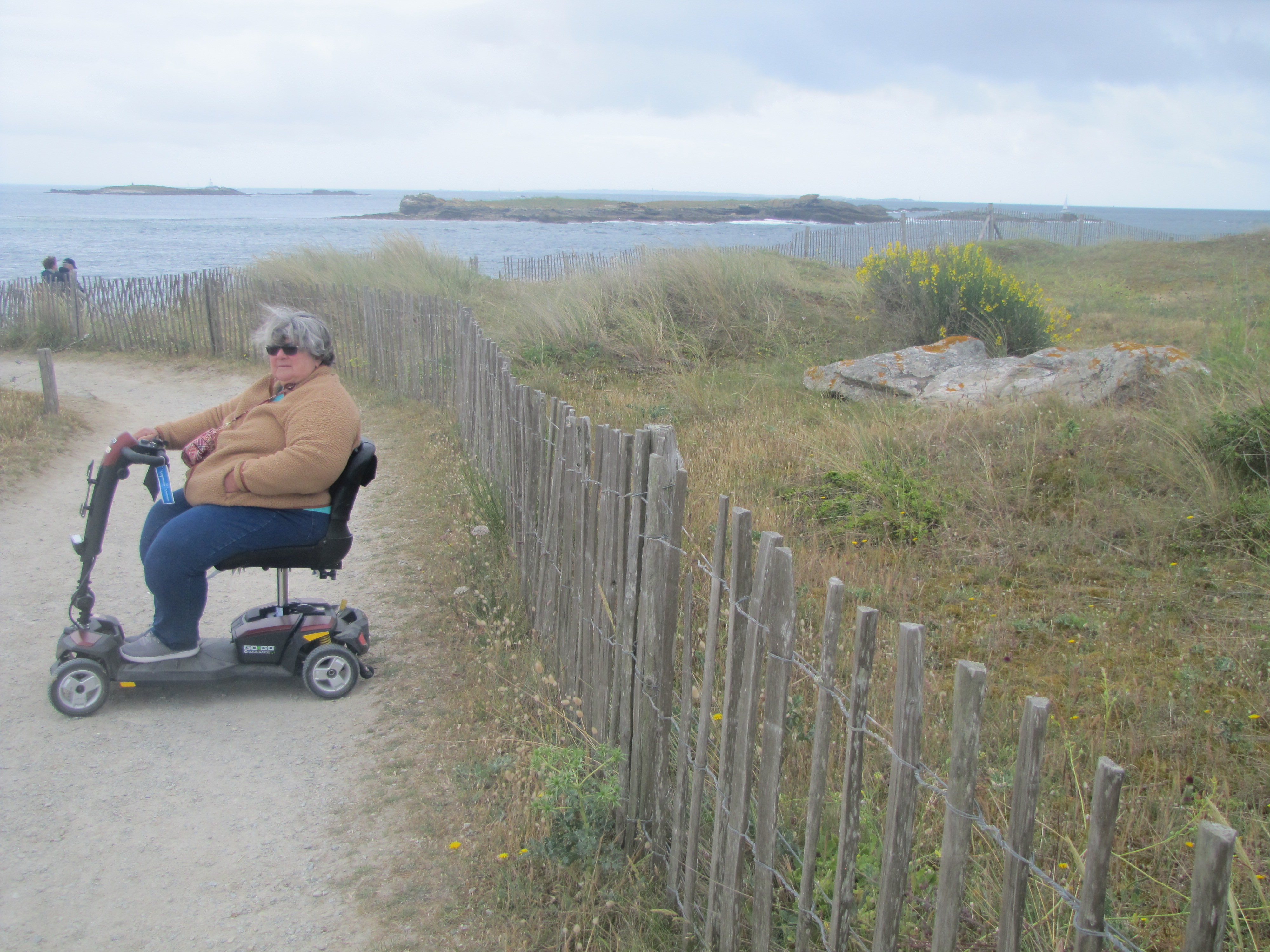
Our first point of interest is to go to the very tip of the island. It has been getting windy and cloudy gray, threatening rain (the weather prediction for today says 100% chance by evening). We easily found parking near a toilet. (Seems to be a theme here.) then headed out on the path to the end of the island, which was packed enough for my scooter. However, every bump was a misery to my back. Nevertheless, we made it to the point where Dave crawled around on the rocks to take some pictures.
 |
| The stalk of this plant was covered in tiny snails. ?Edible? Unknown. |
 |
| Dave at the end of land. |
 |
| Did I mention it was really windy? |
 |
| The coastline at the point |
The weather was darkest here and threatening rain, even throwing a few sprinkles which lasted only a few minutes. By the time we got back to the car, the sun was shining again.
 |
looking back toward where the car is parked. There's a campground hidden in the trees on right.
|
We ate lunch at a picnic table near the car and began the return trip up the west side of the presqu'ile. We were able to follow the shoreline across Port Quiberon to pass by the château on the rocks, which is privately owned and looks like a good set for a horror movie. It sits on the point of land that separates the Bay of Quiberon from the Atlantic Ocean.
 |
| The castle on the point |
The whole west side of Presqu'Ile de Quiberon is called La Côte Sauvage - the Wild Coast. And it is. It is a preserved area with no buildings anywhere near the beach. A single road runs the length of this area within sight of the ocean. Frequent parking areas (most with just a few spaces) encourage you to get out and walk some of the trails. As well, this area is part of the hiking trail that circumnavigates all of Brittany along the coast.
We joined back into the main road near the isthmus and headed back.
Once home, the rain let loose and we had a good drenching rain for several hours at night.


I feel badly for you Lynn, with your back pain, but I hope you enjoyed La Côte Sauvage. I recognized some places you photographed.
ReplyDeleteI'm thinking about you and Dave a lot discovering that beautiful area of France. We hope to see you soon🤞. Enjoy the visit of your daughter and family a lot🤩